Hlína (from Ivančice)
Czechia
Gradient by colour: under 3% 3–6% 6–9% 9%+
Stats computed from OpenStreetMap and satellite elevation data — approximate.
Hlína (from Ivančice) is a 3.2 km cycling climb averaging 4.5% (+146 m), rising from 313 m to 459 m in Czechia.
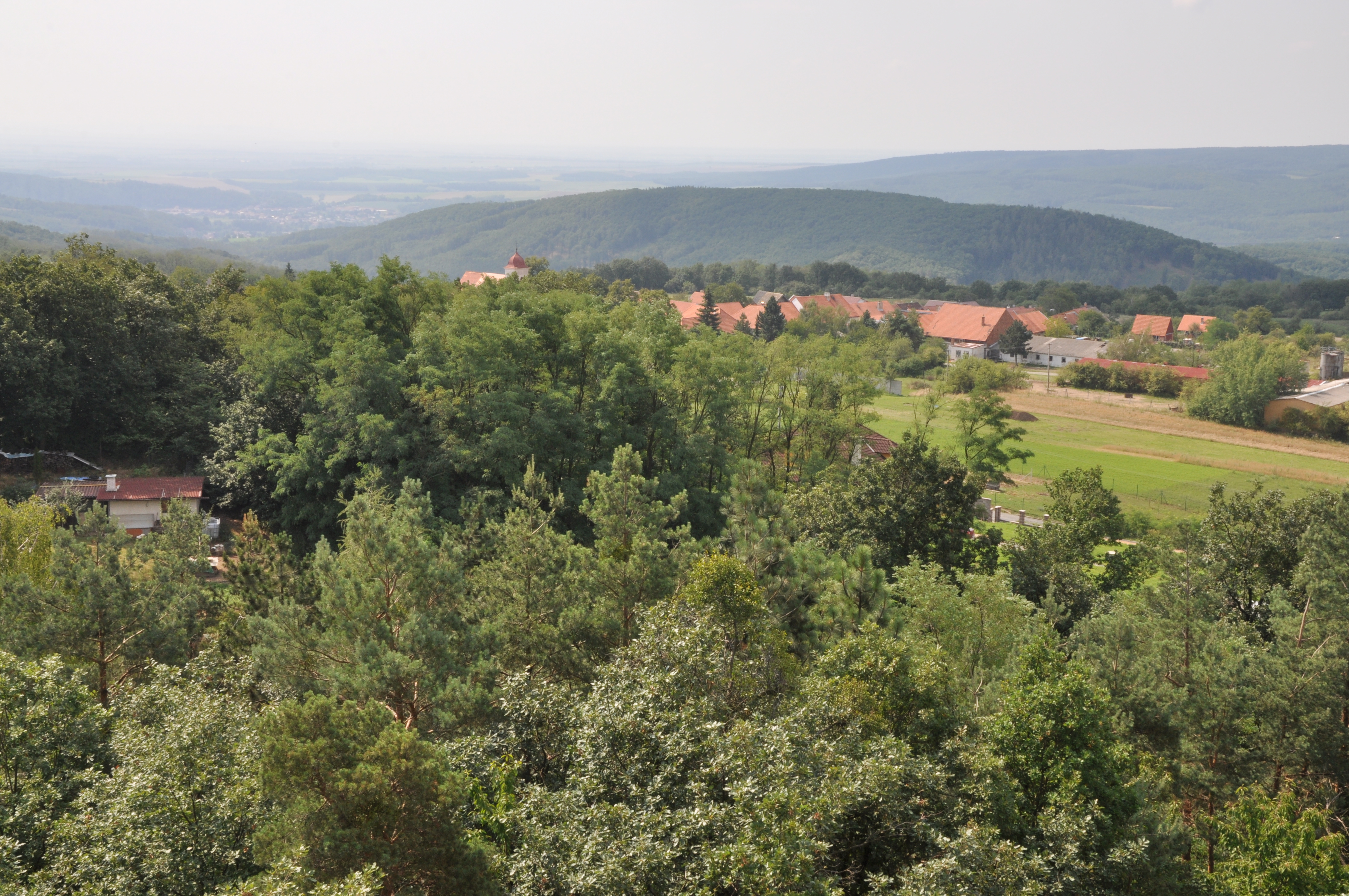
The road to the highest village of the Ivančice country at 451 m, ridden for the Vladimír Menšík lookout tower at the top and its view from Pálava to the Alps. A small local race, S úsměvem na rozhlednu, has run up the same hill.
 Ben Skála, Benfoto
 Ben Skála, Benfoto
 Ben Skála, Benfoto
 Ben Skála, Benfoto
Loading rider experiences…
Download GPX
Navigate to the foot
Where it bites
Steepest 500 m: 7.6% (km 0.2–0.6).
Road: paved throughout
| km | to | avg |
|---|
| 1 | 379 m | 6.6% |
| 2 | 432 m | 5.5% |
| 3 | 456 m | 2.4% |
What it’s like to ride
The road leaves the Jihlava valley steeply, then settles into a long, steady drag up the forested hillside into Hlína, and it carries on rising north of the village, so the village sign is not the top. At 451 m Hlína is the highest village in the Ivančice area, and the 22 m wooden Vladimír Menšík lookout tower stands just north of it, about 50 m off the road: 96 steps to the platform for Pálava, the Dukovany power station, the White Carpathians and, on a clear winter day, the Austrian Alps. The tower opens only at weekends and holidays, which is also the only time you can buy a drink there.
Common questions
- How long and steep is Hlína (from Ivančice)?
- Hlína (from Ivančice) is a 3.2 km cycling climb averaging 4.5% (+146 m), rising from 313 m to 459 m in Czechia.
- Where is Hlína (from Ivančice) steepest?
- The steepest 500 m averages 7.6%, between km 0.2 and km 0.6 of the climb.
- What is the road surface like on Hlína (from Ivančice)?
- Hlína (from Ivančice) is paved throughout.
3.2 km · +146 m · 4.5% avg · ~7.3% max · 313 → 459 m