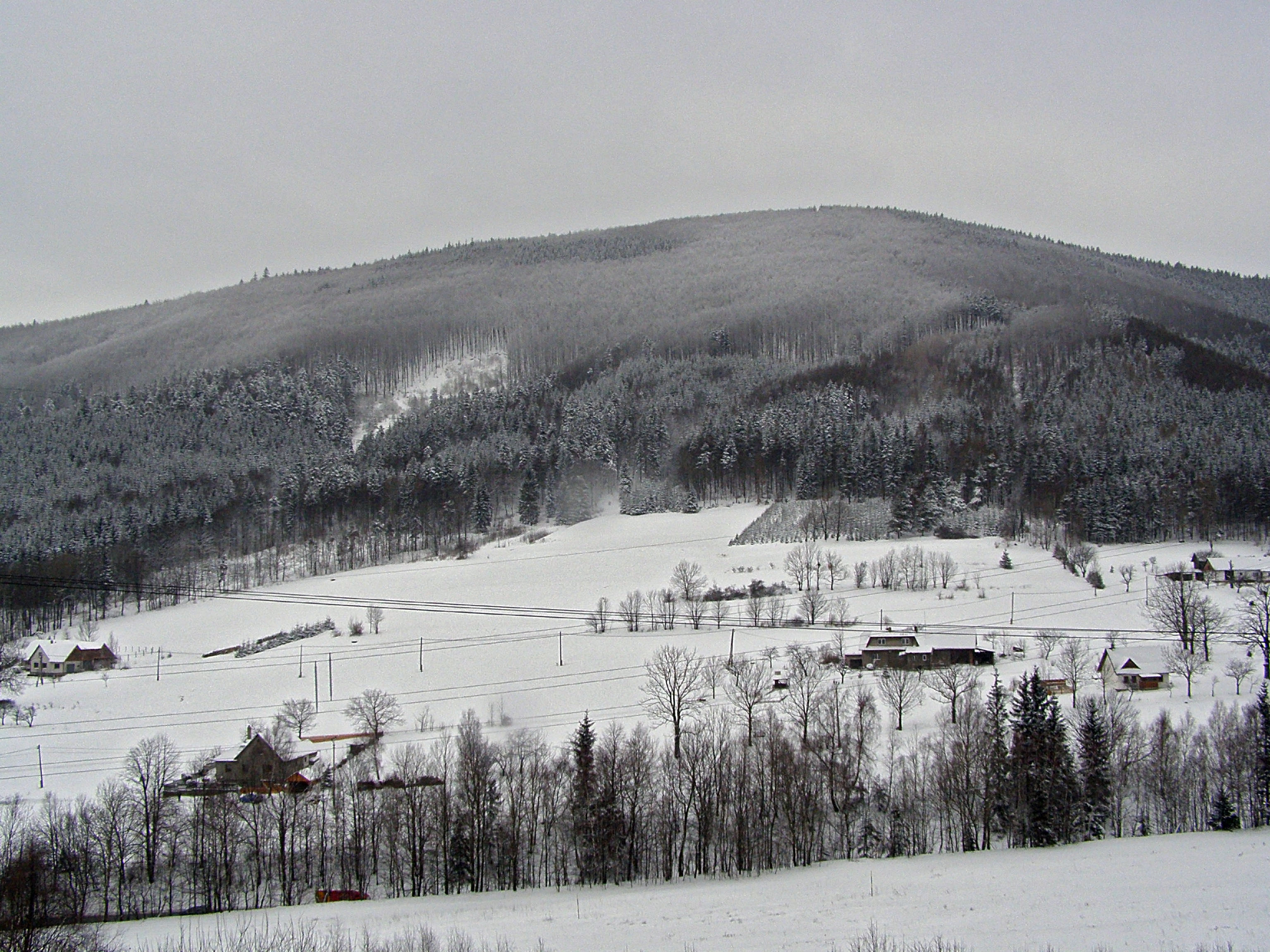
Pindula (from Rožnov pod Radhoštěm)

Climb · Czechia

Checked

Pindula (from Rožnov pod Radhoštěm) is a 5.9 km cycling climb averaging 2.9% (+170 m), rising from 380 m to 551 m in Czechia.

The 552 m saddle between Radhošť and Velký Javorník, on the road the Protectorate began rebuilding in 1939 as the Plzeň to Ostrava trunk. The original drawings put a two-metre cycle path beside it; the real one arrives in 2026.

5.9 km · +170 m · 2.9% avg · ~7.0% max · 380 → 551 m

Stats computed from OpenStreetMap and satellite elevation data — approximate.

1%1%2%3%6%12345km380 m551 m

Gradient by colour: <3% 3–6% 6–9% 9%+

Where it bites

Steepest 500 m: 7.0% (km 44.4).

kmtoavg
1394 m1.4%
2404 m1.0%
3426 m2.5%
4450 m2.2%
5507 m5.9%

What it’s like to ride

Pindula is the saddle at 552 m where road I/58 crosses out of Rožnov pod Radhoštěm toward Trojanovice and Frenštát, so the climb is a steady main road drag at gentle gradients and the traffic matters more than the slope: the I/58 is busy enough that the two towns built a cycle path to get riders off it, a 2.1 km asphalt strip running beside the road on the Rožnov side, due to open in the summer of 2026 and tying into the existing path in Trojanovice. At the top the Zbojnická koliba, a Valašsko timber restaurant with free parking, sits on the boundary between the Zlín and Moravian-Silesian regions, with Radhošť rising on one side of the saddle and the massif of Velký Javorník on the other.

History

The climb out of Rožnov was rebuilt from 1939 as part of the dálková silnice planned from Plzeň to Moravská Ostrava, a Protectorate scheme meant to link the industrial centres at either end of the country. The Rožnov to Pindula section, km 1.3988 to 6.2605 and roughly 4,800 m of it, was designed in December 1938 by Ing. M. Chrucký of Bratislava, and the work reconstructed the existing macadam roadway and straightened it onto curves of 900 to 1000 m radius, surfaced in two-layer concrete as far as km 4.000 and in small granite setts above that. The drawings even put a two-metre cycle path of rolled gravel down the left-hand side of the road. Building started in March 1939 and the macadam was still going in through 1940, but the works were officially halted by ministry decree on 20 August 1941 and the through road was never taken up again after the war. Rožnov began the first 2.1 km of a cycle path along the I/58 toward the saddle in April 2026, meant to meet the Trojanovice section and join the Zlín and Moravian-Silesian regions.

Worth stopping near the climb

More climbs in Czechia

Common questions

How long and steep is Pindula (from Rožnov pod Radhoštěm)?
Pindula (from Rožnov pod Radhoštěm) is a 5.9 km cycling climb averaging 2.9% (+170 m), rising from 380 m to 551 m in Czechia.
Where is Pindula (from Rožnov pod Radhoštěm) steepest?
The steepest 500 m averages 7.0%, between km 4 and km 4.4 of the climb.