

Děvín
Peak · 550 m · Czechia
Checked
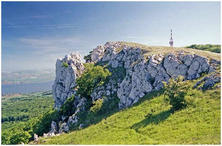
Děvín's two peaks reach 550 metres, making it the highest point in the Pavlov Hills and the Pálava Protected Landscape Area. From the summit you see the watershed line between the Upper Thaya and the Thaya/Morava drainage systems.
People have used this ridge for at least 30,000 years. Archaeologists trace settlement here through Celtic tribes and Roman-era camps back to Cro-Magnon hunters, and the summit itself carries the earthworks of a large hillfort, refortified from the Iron Age into the Great Moravian period. It sat along a wider string of fortified summits in the Pavlov Hills, with the ancient amber-trading route up the Dyje valley passing close by. A television transmitter has stood on the mountain's higher peak since the late 1970s, its lower deck built as a viewing platform looking out over the Dyje lowlands and the Nové Mlýny reservoirs. Since 1946 the whole massif has been protected as a national nature reserve, one of the region's earliest, safeguarding steppe grassland and alpine plant species found almost nowhere else in the country.
What you see
Two distinct summits break the ridgeline, the double peak that sets Děvín apart from the rest of the Pavlov Hills.
viewpointnatureprotected area