Paterberg
Flanders
Gradient by colour: under 3% 3–6% 6–9% 9%+
Stats computed from OpenStreetMap and satellite elevation data — approximate.
Paterberg is a 0.4 km cycling climb averaging 10.0% (+37 m), rising from 35 m to 71 m in Flanders.
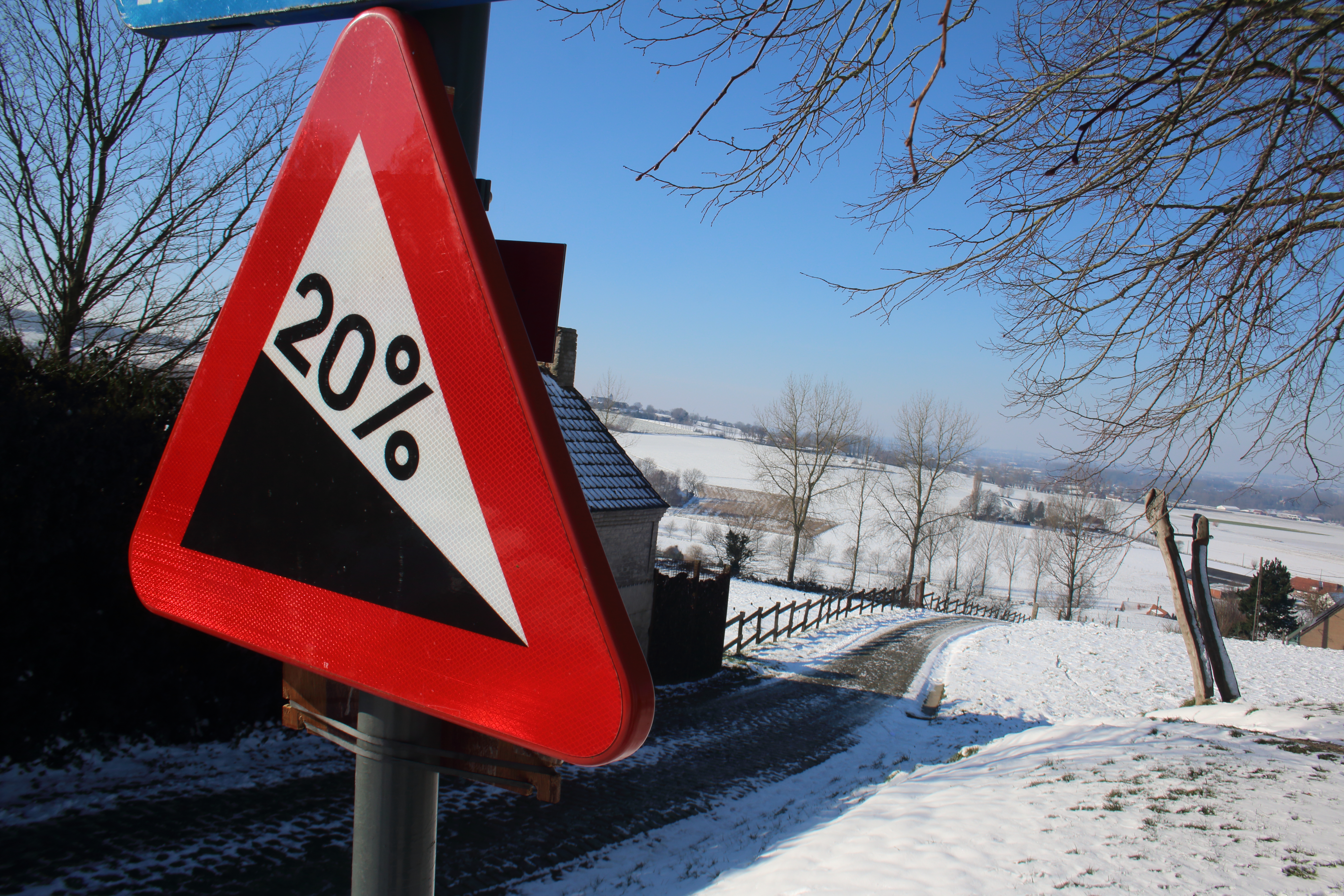
The last climb of the Ronde since 2012, 360 metres at up to 20% taken minutes after the Oude Kwaremont, and in every edition since 1986, a run only the Kwaremont matches. It exists because a farmer had cobbles laid on his own track so the race would pass his house. Cancellara, Sagan and van Vleuten all settled their Rondes on it.
 Spotter2
 Anthospace
 Anthospace
 FrDr
FrDrLoading rider experiences…
Download GPX
Navigate to the foot
Where it bites
Steepest 100 m: 16.0% (km 0.3–0.4).
Road: cobbled throughout
| section | to | avg |
|---|
| 0–100 m | 38 m | 5.6% |
| 100–200 m | 49 m | 8.0% |
| 200–300 m | 59 m | 10.6% |
Common questions
- How long and steep is Paterberg?
- Paterberg is a 0.4 km cycling climb averaging 10.0% (+37 m), rising from 35 m to 71 m in Flanders.
- Where is Paterberg steepest?
- The steepest 100 m averages 16.0%, between km 0.3 and km 0.4 of the climb.
- Is Paterberg cobbled, and for how far?
- Yes. 0.3 km of Paterberg's 0.4 km are laid in sett or cobblestone (cobbled throughout), measured from OpenStreetMap surface tags along the climb.
0.4 km · +37 m · 10.0% avg · ~14.7% max · 35 → 71 m